|
Archaeological Post Analysis Architecture/Design 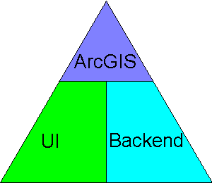 We follow a data flow Architecture, splitting the project into three pieces that communicate between each other:
As our project is going to be used as a computational research tool for an area of research that has few computational research tools, it is very likely going to need to adapt to handle new techniques. To that end, the user interface and the backend are divided into modules. The user interface has a module for each form item that interacts with ArcGIS (text field, status bar, button, etd) so more can easily be added. For now, the backend only has two modules. One for our centroid algorithm and one for our linkage algorithm. 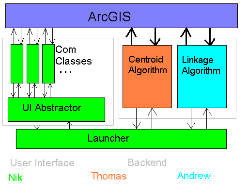 Due to the modular nature of the project, it was necessary to focus the points of cohesion between the user interface and the algorithm. The UI Abstractor module and the Launcher module do this handily. |